
Thank you for supporting this site ❤️
Make a donation
Make a donation
Gear up for your next adventure:
As an Amazon Associate, this site earns from qualifying purchases at no extra cost to you.
Tulantongo topographic map
Click on the map to display elevation.
Thank you for supporting this site ❤️
Make a donation
Make a donation
Gear up for your next adventure:
As an Amazon Associate, this site earns from qualifying purchases at no extra cost to you.
About this map
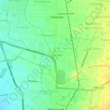
Name: Tulantongo topographic map, elevation, terrain.
Location: Tulantongo, Texcoco, Estado de México, 56270, México (19.51498 -98.90240 19.55498 -98.86240)
Average elevation: 7,395 ft
Minimum elevation: 7,356 ft
Maximum elevation: 7,438 ft
Thank you for supporting this site ❤️
Make a donation
Make a donation
Gear up for your next adventure:
As an Amazon Associate, this site earns from qualifying purchases at no extra cost to you.