Geolocate

Michelstadt topographic map

Click on the map to display elevation.

About this map

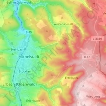
Name: Michelstadt topographic map, elevation, terrain.

Location: Michelstadt, Odenwaldkreis, Hesse, 64720, Germany (49.66571 8.94976 49.69847 9.07306)

Average elevation: 1,188 ft

Minimum elevation: 600 ft

Maximum elevation: 1,798 ft

Gear up for your next adventure:

🛰️Satellite Messengers - Emergency SOS and two-way messaging for off-grid adventures
🕶️GPS Smartphone Mount - Secure mount for phone navigation
🪶Multi‑Purpose Knife - Useful blade for camp and trail
🛠️Backpacking Tool Kit - Essential toolkit for outdoor repairs
Backpacking Tent - Lightweight and durable tent for multi‑day hikes

As an Amazon Associate, this site earns from qualifying purchases at no extra cost to you.