Geolocate

Shiba topographic map

Click on the map to display elevation.

About this map

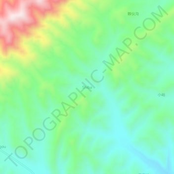
Name: Shiba topographic map, elevation, terrain.

Location: Shiba, Ningwu County, Xinzhou City, Shanxi, China (38.61184 111.93187 38.65184 111.97187)

Average elevation: 5,246 ft

Minimum elevation: 4,672 ft

Maximum elevation: 6,575 ft

Gear up for your next adventure:

Backpacking Tent - Lightweight and durable tent for multi‑day hikes
🏥Hiking First Aid Kits - Comprehensive medical kits for remote trail injuries
🛰️Satellite Messengers - Emergency SOS and two-way messaging for off-grid adventures
🚪Portable Camp Chair - Foldable chair for comfort at camp
🥘Titanium Cookware - Durable, featherlight pots and pans for backpacking

As an Amazon Associate, this site earns from qualifying purchases at no extra cost to you.