Geolocate

Chiles topographic map

Click on the map to display elevation.

About this map

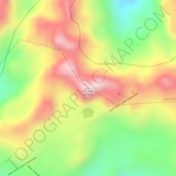
Name: Chiles topographic map, elevation, terrain.

Location: Chiles, La Libertad, Espejo, Carchi, Ecuador (0.75289 -77.97441 0.75299 -77.97431)

Average elevation: 13,169 ft

Minimum elevation: 12,425 ft

Maximum elevation: 13,816 ft

Gear up for your next adventure:

🔭Compact Binoculars - HD vision for scouting terrain and identifying distant landmarks
🦟Ultrasonic Repellers - Create a bug-free zone at your camp or rest stop
🧭GPS Watch Accessories - Bands and chargers for GPS watches
🪶Thermal Camp Blanket - Extra warmth for cold nights
🔦Compact Flashlight - Reliable flashlight for emergencies

As an Amazon Associate, this site earns from qualifying purchases at no extra cost to you.