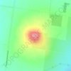
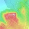
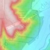
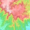
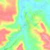
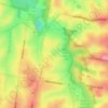
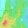
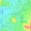
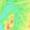
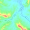
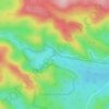
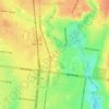
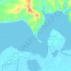
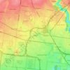
Anakie topographic map
Click on the map to display elevation.
About this map

Name: Anakie topographic map, elevation, terrain.
Location: Anakie, City of Greater Geelong, Victoria, 3213, Australia (-38.01472 144.18674 -37.86666 144.37131)
Average elevation: 495 ft
Minimum elevation: 85 ft
Maximum elevation: 1,286 ft
Other topographic maps
Click on a map to view its topography, its elevation and its terrain.


Australian Garden - Royal Botanic Gardens Cranbourne
Australia > Victoria > Melbourne
Average elevation: 230 ft