Geolocate

Manchuria topographic map

Click on the map to display elevation.

About this map

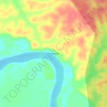
Name: Manchuria topographic map, elevation, terrain.

Location: Manchuria, Province of Loreto, Loreto, Peru (-3.85835 -74.34842 -3.81835 -74.30842)

Average elevation: 410 ft

Minimum elevation: 312 ft

Maximum elevation: 515 ft

Gear up for your next adventure:

🪶Paracord Bracelet - Survival bracelet with built‑in tools
🔦Powerful Headlamps - Ultra-bright hands-free lighting for night navigation
🧭Hiking Compass - Precision compass for reliable navigation in the wilderness
💧Water Filtration Bottles - Safely drink from streams and lakes while exploring
☀️Outdoor Sunscreen - High protection sunscreen for outdoor activities

As an Amazon Associate, this site earns from qualifying purchases at no extra cost to you.