
Kumertau topographic map
Interactive map
Click on the map to display elevation.
About this map
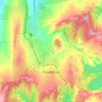
Name: Kumertau topographic map, elevation, terrain.
Location: Kumertau, Bashkortostan, Volga Federal District, Russia (52.74402 55.74946 52.80864 55.87465)
Average elevation: 991 ft
Minimum elevation: 761 ft
Maximum elevation: 1,220 ft