
Make a donation
Gear up for your next adventure:
As an Amazon Associate, this site earns from qualifying purchases at no extra cost to you.
Victoria West topographic map
Click on the map to display elevation.
Make a donation
Gear up for your next adventure:
As an Amazon Associate, this site earns from qualifying purchases at no extra cost to you.
Victoria West
Victoria West is a town in the central Karoo region of South Africa's Northern Cape province. It is situated on the main N12 route, at an elevation of 1,300 metres (4,300 ft). It is the seat of the Ubuntu Local Municipality within the Pixley ka Seme District Municipality.
Make a donation
Gear up for your next adventure:
As an Amazon Associate, this site earns from qualifying purchases at no extra cost to you.
About this map
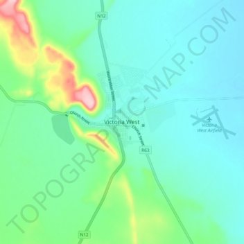
Name: Victoria West topographic map, elevation, terrain.
Average elevation: 4,232 ft
Minimum elevation: 4,101 ft
Maximum elevation: 4,734 ft
Make a donation
Gear up for your next adventure:
As an Amazon Associate, this site earns from qualifying purchases at no extra cost to you.