
Eagle Lake topographic map
Interactive map
Click on the map to display elevation.
About this map
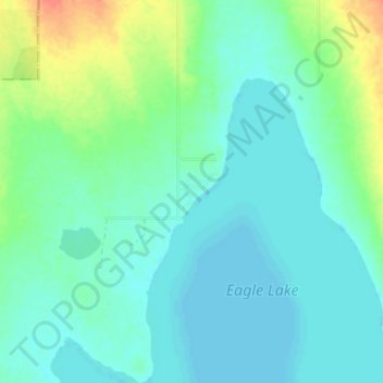
Name: Eagle Lake topographic map, elevation, terrain.
Location: Eagle Lake, Wheatland County, Alberta, Canada (50.99155 -113.34834 51.03155 -113.30834)
Average elevation: 3,061 ft
Minimum elevation: 3,022 ft
Maximum elevation: 3,182 ft