Geolocate

Detroit Lakes topographic map

Click on the map to display elevation.

About this map

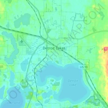
Name: Detroit Lakes topographic map, elevation, terrain.

Location: Detroit Lakes, Becker County, Minnesota, United States (46.76742 -95.91271 46.85700 -95.79041)

Average elevation: 1,365 ft

Minimum elevation: 1,322 ft

Maximum elevation: 1,604 ft

Becker County trails, hiking, mountain biking, running and outdoor activities

Gear up for your next adventure:

🪶Fire Starter Kit - Reliable fire starter for survival and camping
🪶Camp Gear Gift Set - Perfect gift bundle for outdoor fans
🧥Waterproof Jacket for Hiking - Breathable and rugged rain jacket for outdoor excursions
🌎3D Topographic Globes - Raised relief globes for a tactile understanding of geography
🧢Outdoor Hiking Hat - Sun protection hat for outdoor explorers

As an Amazon Associate, this site earns from qualifying purchases at no extra cost to you.