
Dongra Kalan topographic map
Interactive map
Click on the map to display elevation.
About this map
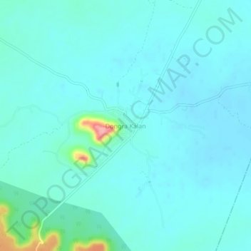
Name: Dongra Kalan topographic map, elevation, terrain.
Location: Dongra Kalan, Lalitpur Tehsil, Lalitpur, Uttar Pradesh, India (24.42881 78.47079 24.46881 78.51079)
Average elevation: 1,322 ft
Minimum elevation: 1,273 ft
Maximum elevation: 1,640 ft
Other topographic maps
Click on a map to view its topography, its elevation and its terrain.
Devgarh
India > Uttar Pradesh > Lalitpur Tehsil
Devgarh, Lalitpur Tehsil, Lalitpur, Uttar Pradesh, India
Average elevation: 1,260 ft