Geolocate

Niland topographic map

Click on the map to display elevation.

About this map

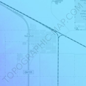
Name: Niland topographic map, elevation, terrain.

Location: Niland, Imperial County, California, United States (33.23001 -115.52045 33.24560 -115.50802)

Average elevation: -131 ft

Minimum elevation: -177 ft

Maximum elevation: -62 ft

Imperial County trails, hiking, mountain biking, running and outdoor activities

Gear up for your next adventure:

👖Convertible Hiking Pants - Versatile zip-off pants for changing altitudes and temperatures
☀️Outdoor Sunscreen - High protection sunscreen for outdoor activities
🧯Portable Fire Pit - Compact fire pit for camping spots
👓Polarized Sunglasses - Outdoor sunglasses for glare reduction
📶Satellite Messenger - Communication device off‑grid

As an Amazon Associate, this site earns from qualifying purchases at no extra cost to you.