
Thank you for supporting this site ❤️
Make a donation
Make a donation
Gear up for your next adventure:
As an Amazon Associate, this site earns from qualifying purchases at no extra cost to you.
Xiangyang topographic map
Click on the map to display elevation.
Thank you for supporting this site ❤️
Make a donation
Make a donation
Gear up for your next adventure:
As an Amazon Associate, this site earns from qualifying purchases at no extra cost to you.
About this map
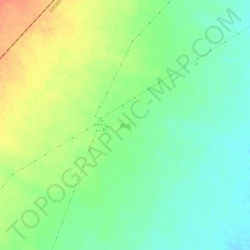
Name: Xiangyang topographic map, elevation, terrain.
Location: Xiangyang, Huairen City, Shanxi, China (39.67823 112.96759 39.71823 113.00759)
Average elevation: 3,458 ft
Minimum elevation: 3,392 ft
Maximum elevation: 3,550 ft
Thank you for supporting this site ❤️
Make a donation
Make a donation
Gear up for your next adventure:
As an Amazon Associate, this site earns from qualifying purchases at no extra cost to you.