Geolocate

Northern topographic map

Click on the map to display elevation.

About this map

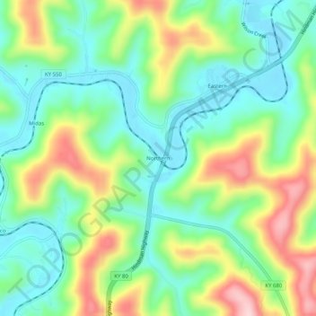
Name: Northern topographic map, elevation, terrain.

Location: Northern, Floyd County, Kentucky, 41622, United States (37.48788 -82.83544 37.52788 -82.79544)

Average elevation: 935 ft

Minimum elevation: 646 ft

Maximum elevation: 1,463 ft

Other topographic maps

Click on a map to view its topography, its elevation and its terrain.

Prestonsburg

United States > Kentucky > Floyd County

Average elevation: 899 ft

Wayland

United States > Kentucky > Floyd County

Average elevation: 1,060 ft

Wheelwright

United States > Kentucky > Floyd County

Average elevation: 1,460 ft

Gear up for your next adventure:

🪑Portable Camp Table - Compact table for campsite meals
🗺️NatGeo Topo Maps - High-quality waterproof printed topographic maps of US Parks
🔋Solar Power Banks - Keep your GPS and phone charged in remote wilderness areas
Solar GPS Watches - Advanced multisport watches with built-in topographic maps
🧣Merino Neck Gaiters - Multi-functional headwear for wind and sun protection

As an Amazon Associate, this site earns from qualifying purchases at no extra cost to you.