
Make a donation
Gear up for your next adventure:
As an Amazon Associate, this site earns from qualifying purchases at no extra cost to you.
Lustenau topographic map
Click on the map to display elevation.
Make a donation
Gear up for your next adventure:
As an Amazon Associate, this site earns from qualifying purchases at no extra cost to you.
Lustenau
Lustenau is located on the eastern bank of the Alpine Rhine, in the lower Vorarlberg Rhine Valley, which serves as the border with the Canton of St. Gallen, Switzerland. Its altitude is 404 meters above sea level. Because the town is located at the bottom of the Rhine Valley, there are no hills or mountains. Lustenau is bordered to the west by the Rhine and to the northeast by the Dornbirner Ach. The territory stretches about 8.5 km from north to south, and about 4 km from east to west.
Make a donation
Gear up for your next adventure:
As an Amazon Associate, this site earns from qualifying purchases at no extra cost to you.
About this map
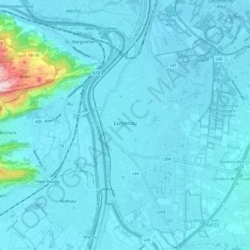
Name: Lustenau topographic map, elevation, terrain.
Location: Lustenau, Bezirk Dornbirn, Vorarlberg, Austria (47.39130 9.64429 47.46291 9.69830)
Average elevation: 1,385 ft
Minimum elevation: 1,302 ft
Maximum elevation: 2,451 ft
Make a donation
Gear up for your next adventure:
As an Amazon Associate, this site earns from qualifying purchases at no extra cost to you.