
Chalets de Raja topographic map
Click on the map to display elevation.
About this map
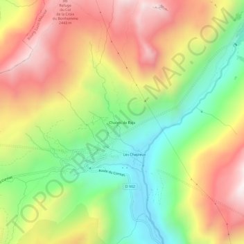
Name: Chalets de Raja topographic map, elevation, terrain.
Average elevation: 6,624 ft
Minimum elevation: 5,003 ft
Maximum elevation: 8,389 ft
Other topographic maps
Click on a map to view its topography, its elevation and its terrain.
Charmettoger
France > Auvergne-Rhône-Alpes > Savoie > Bourg-Saint-Maurice > Arc 1800
Average elevation: 5,554 ft
Fort de la Platte
France > Auvergne-Rhône-Alpes > Savoie > Bourg-Saint-Maurice > Les Échines Dessous
Average elevation: 5,817 ft
Le Chantel
France > Auvergne-Rhône-Alpes > Savoie > Bourg-Saint-Maurice > Arc 1800
Average elevation: 5,823 ft
Le Charvet
France > Auvergne-Rhône-Alpes > Savoie > Bourg-Saint-Maurice > Arc 1800
Average elevation: 5,417 ft