
Thank you for supporting this site ❤️
Make a donation
Make a donation
Gear up for your next adventure:
As an Amazon Associate, this site earns from qualifying purchases at no extra cost to you.
Kwahu topographic map
Click on the map to display elevation.
Thank you for supporting this site ❤️
Make a donation
Make a donation
Gear up for your next adventure:
As an Amazon Associate, this site earns from qualifying purchases at no extra cost to you.
About this map
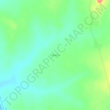
Name: Kwahu topographic map, elevation, terrain.
Location: Kwahu, Idasu, Giwa, Kaduna State, Nigeria (11.13404 6.95095 11.17404 6.99095)
Average elevation: 2,159 ft
Minimum elevation: 2,067 ft
Maximum elevation: 2,382 ft
Thank you for supporting this site ❤️
Make a donation
Make a donation
Gear up for your next adventure:
As an Amazon Associate, this site earns from qualifying purchases at no extra cost to you.