Geolocate

Central topographic map

Click on the map to display elevation.

About this map

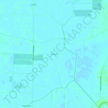
Name: Central topographic map, elevation, terrain.

Location: Central, Yolo County, California, United States (38.37269 -121.59301 38.41269 -121.55301)

Average elevation: 3 ft

Minimum elevation: -3 ft

Maximum elevation: 20 ft

Yolo County trails, hiking, mountain biking, running and outdoor activities

Other topographic maps

Click on a map to view its topography, its elevation and its terrain.

Esparto

United States > California > Yolo County

Average elevation: 190 ft

Gear up for your next adventure:

⛑️Personal Locator Beacon - Safety beacon for emergencies
❄️Traction Cleats - Prevent slips on icy trails during winter hikes
📚Navigation Handbooks - Master the art of reading topographic maps and using a compass
🩳Quick‑Dry Hiking Shorts - Comfortable and quick‑dry shorts for summer hiking
📻Weather Alert Radios - Stay informed of storm risks while off-the-grid

As an Amazon Associate, this site earns from qualifying purchases at no extra cost to you.