
Thank you for supporting this site ❤️
Make a donation
Make a donation
Gear up for your next adventure:
As an Amazon Associate, this site earns from qualifying purchases at no extra cost to you.
Waitakaruru topographic map
Click on the map to display elevation.
Thank you for supporting this site ❤️
Make a donation
Make a donation
Gear up for your next adventure:
As an Amazon Associate, this site earns from qualifying purchases at no extra cost to you.
About this map
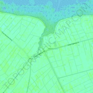
Name: Waitakaruru topographic map, elevation, terrain.
Location: Waitakaruru, Hauraki District, Waikato, 3576, New Zealand (-37.25347 175.37480 -37.21347 175.41480)
Average elevation: 13 ft
Minimum elevation: 0 ft
Maximum elevation: 23 ft
Thank you for supporting this site ❤️
Make a donation
Make a donation
Gear up for your next adventure:
As an Amazon Associate, this site earns from qualifying purchases at no extra cost to you.