
Make a donation
Gear up for your next adventure:
As an Amazon Associate, this site earns from qualifying purchases at no extra cost to you.
Fern Park topographic map
Click on the map to display elevation.
Make a donation
Gear up for your next adventure:
As an Amazon Associate, this site earns from qualifying purchases at no extra cost to you.
About this map
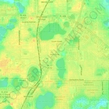
Name: Fern Park topographic map, elevation, terrain.
Location: Fern Park, Seminole County, Florida, 32730, United States (28.62916 -81.37118 28.66916 -81.33118)
Average elevation: 98 ft
Minimum elevation: 39 ft
Maximum elevation: 128 ft
Make a donation
Gear up for your next adventure:
As an Amazon Associate, this site earns from qualifying purchases at no extra cost to you.
Other topographic maps
Click on a map to view its topography, its elevation and its terrain.
Altamonte Springs
United States > Florida > Seminole County > Altamonte Springs
Average elevation: 85 ft
Make a donation
Gear up for your next adventure:
As an Amazon Associate, this site earns from qualifying purchases at no extra cost to you.