Geolocate

Lucera topographic map

Click on the map to display elevation.

About this map
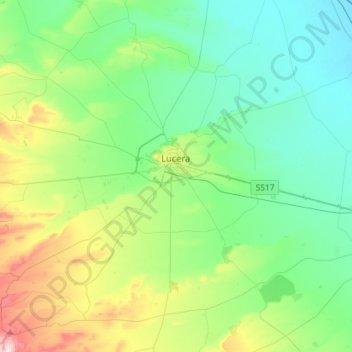
Name: Lucera topographic map, elevation, terrain.

Location: Lucera, Foggia, Apulia, 71036, Italy (41.39321 15.19128 41.60138 15.47838)

Average elevation: 535 ft

Minimum elevation: 144 ft

Maximum elevation: 1,729 ft

Other topographic maps

Click on a map to view its topography, its elevation and its terrain.

Lido del Sole

Italy > Apulia > Foggia

Average elevation: 26 ft

San Domino

Italy > Apulia > Foggia > San Nicola

Average elevation: 16 ft

Padre Pio

Italy > Apulia > Foggia > Cerignola

Average elevation: 371 ft

Gear up for your next adventure:

🔊Portable Camp Speaker - Music and alerts at camp
🎒Hydration Pack - Hands‑free water reservoir for long hikes
🧤Tactile Hiking Gloves - Keep hands warm while operating GPS and smartphone screens
🛡️Insect Repellent - Protection against bugs during outdoor activities
🥘Titanium Cookware - Durable, featherlight pots and pans for backpacking

As an Amazon Associate, this site earns from qualifying purchases at no extra cost to you.