
Pila topographic map
Click on the map to display elevation.
About this map
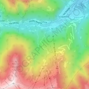
Name: Pila topographic map, elevation, terrain.
Location: Pila, Vercelli, Piedmont, Italy (45.73783 8.05005 45.78068 8.08737)
Average elevation: 3,717 ft
Minimum elevation: 2,067 ft
Maximum elevation: 6,207 ft
Other topographic maps
Click on a map to view its topography, its elevation and its terrain.