
Make a donation
Gear up for your next adventure:
As an Amazon Associate, this site earns from qualifying purchases at no extra cost to you.
Blauwe Kei topographic map
Click on the map to display elevation.
Make a donation
Gear up for your next adventure:
As an Amazon Associate, this site earns from qualifying purchases at no extra cost to you.
Blauwe Kei
Blauwe Kei is een plaats in de Belgische stad Lommel in de provincie Limburg. Blauwe Kei is ontstaan na het graven van het kanaal Bocholt-Herentals, ter hoogte van de eerste sluis, en valt onder het gehucht Lommel-Werkplaatsen (Lommel-Fabriek). Iets verder richting Antwerpen is tevens de aftakking van Kanaal naar Beverlo dat eindigt in Leopoldsburg.
Make a donation
Gear up for your next adventure:
As an Amazon Associate, this site earns from qualifying purchases at no extra cost to you.
About this map
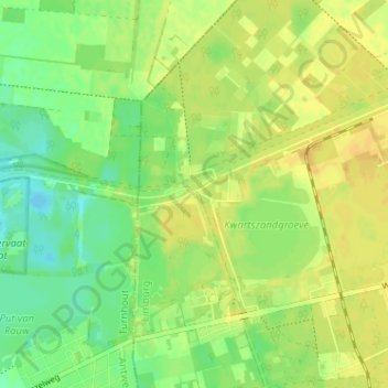
Name: Blauwe Kei topographic map, elevation, terrain.
Location: Blauwe Kei, Lommel, Maaseik, Limburg, Vlaanderen, 3920, België (51.21757 5.20485 51.25757 5.24485)
Average elevation: 128 ft
Minimum elevation: 85 ft
Maximum elevation: 161 ft
Make a donation
Gear up for your next adventure:
As an Amazon Associate, this site earns from qualifying purchases at no extra cost to you.
Other topographic maps
Click on a map to view its topography, its elevation and its terrain.
Lommelse Sahara
België > Limburg > Maaseik > Lommel
Op 1 april 2015 werd in de Sahara een uitkijktoren geopend met een hoogte van 30 meter. Deze indrukwekkende constructie beschikt over drie platforms die je een wijde blik op de omgeving bieden. De inspiratie voor de look van de uitkijktoren haalden de ontwerpers uit het glooiende lijnenspel van de zandduinen…
Average elevation: 151 ft