
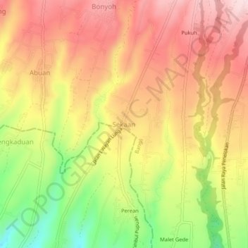
Sekaan topographic map
Interactive map
Click on the map to display elevation.
About this map
Name: Sekaan topographic map, elevation, terrain.
Location: Sekaan, Bangli, Bali, Indonesia (-8.34857 115.30629 -8.30857 115.34629)
Average elevation: 3,179 ft
Minimum elevation: 2,595 ft
Maximum elevation: 3,593 ft