Geolocate

Clark topographic map

Click on the map to display elevation.

About this map

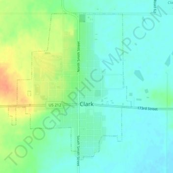
Name: Clark topographic map, elevation, terrain.

Location: Clark, Clark County, South Dakota, United States (44.86904 -97.75040 44.89185 -97.72332)

Average elevation: 1,814 ft

Minimum elevation: 1,772 ft

Maximum elevation: 1,900 ft

Clark County trails, hiking, mountain biking, running and outdoor activities

Gear up for your next adventure:

Backpacking Tent - Lightweight and durable tent for multi‑day hikes
🧭Pro Hiking Compasses - High-accuracy liquid-filled compasses for topographic orientation
☀️Outdoor Sunscreen - High protection sunscreen for outdoor activities
Camping Coffee Makers - Enjoy premium coffee at the summit or campsite
🧤Hiking Gloves - Protective gloves for rugged trails

As an Amazon Associate, this site earns from qualifying purchases at no extra cost to you.