Geolocate

Preda topographic map

Click on the map to display elevation.

About this map
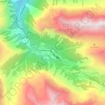
Name: Preda topographic map, elevation, terrain.

Location: Preda, Bergün Filisur, Albula/Alvra, Grisons, Suisse (46.56943 9.75614 46.60943 9.79614)

Average elevation: 7,070 ft

Minimum elevation: 4,888 ft

Maximum elevation: 9,058 ft

Gear up for your next adventure:

🪶Camping Sleeping Pad - Comfortable sleeping pad for backpacking
🚪Portable Camp Chair - Foldable chair for comfort at camp
🪓Survival Multi‑Tool - Versatile tool for camp and trail tasks
🛏️Cold Weather Sleeping Bag - Warm sleeping bag for cold conditions
💧Water Purification System - Clean water on the trail with reliable purifiers

As an Amazon Associate, this site earns from qualifying purchases at no extra cost to you.