
Forest Grove topographic map
Click on the map to display elevation.
About this map
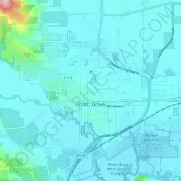
Name: Forest Grove topographic map, elevation, terrain.
Average elevation: 200 ft
Minimum elevation: 138 ft
Maximum elevation: 902 ft
Washington County trails, hiking, mountain biking, running and outdoor activities
Other topographic maps
Click on a map to view its topography, its elevation and its terrain.
Vern Galaway Memorial Park
United States > Oregon > Washington County > North Plains
Average elevation: 184 ft