
Attawapiskat topographic map
Interactive map
Click on the map to display elevation.
About this map
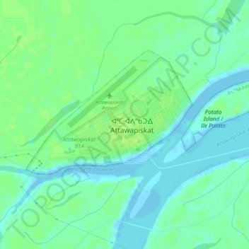
Name: Attawapiskat topographic map, elevation, terrain.
Location: Attawapiskat, Kenora District, Ontario, P0L 1A0, Canada (52.91946 -82.44426 52.92942 -82.41647)
Average elevation: 20 ft
Minimum elevation: -20 ft
Maximum elevation: 33 ft