
Lake Hamilton topographic map
Click on the map to display elevation.
About this map
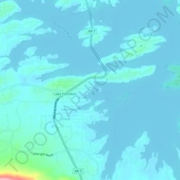
Name: Lake Hamilton topographic map, elevation, terrain.
Average elevation: 427 ft
Minimum elevation: 394 ft
Maximum elevation: 837 ft
Garland County trails, hiking, mountain biking, running and outdoor activities
Other topographic maps
Click on a map to view its topography, its elevation and its terrain.
Hot Springs National Park
United States > Arkansas > Garland County > Hot Springs
The National Park Service exercises no control or supervision over any matters connected with the city. The city starts on the other side of Central Avenue from Bathhouse Row. Its development has extended beyond the narrow valley in which the springs are located, spreading out over the open plain to the south…
Average elevation: 702 ft