
Parque Quinta Normal topographic map
Click on the map to display elevation.
About this map
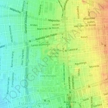
Name: Parque Quinta Normal topographic map, elevation, terrain.
Average elevation: 1,726 ft
Minimum elevation: 1,667 ft
Maximum elevation: 1,791 ft
Other topographic maps
Click on a map to view its topography, its elevation and its terrain.
Recoleta
Chile > Santiago Metropolitan Region > Provincia de Santiago > Santiago
Average elevation: 1,824 ft
La Reina
Chile > Santiago Metropolitan Region > Provincia de Santiago > Santiago
Average elevation: 2,536 ft
Peñalolén
Chile > Santiago Metropolitan Region > Provincia de Santiago > Santiago
Average elevation: 3,166 ft