
Thank you for supporting this site ❤️
Make a donation
Make a donation
Gear up for your next adventure:
As an Amazon Associate, this site earns from qualifying purchases at no extra cost to you.
Ahunui topographic map
Click on the map to display elevation.
Thank you for supporting this site ❤️
Make a donation
Make a donation
Gear up for your next adventure:
As an Amazon Associate, this site earns from qualifying purchases at no extra cost to you.
About this map
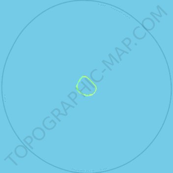
Name: Ahunui topographic map, elevation, terrain.
Location: Ahunui, Hao, Tuamotu-Gambier, French Polynesia, France (-19.86275 -140.64500 -19.40829 -140.17174)
Average elevation: 0 ft
Minimum elevation: 0 ft
Maximum elevation: 39 ft
Thank you for supporting this site ❤️
Make a donation
Make a donation
Gear up for your next adventure:
As an Amazon Associate, this site earns from qualifying purchases at no extra cost to you.