Geolocate

Muñapucro topographic map

Click on the map to display elevation.

About this map

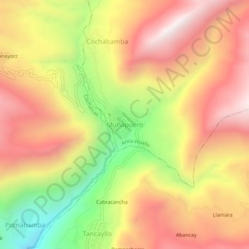
Name: Muñapucro topographic map, elevation, terrain.

Location: Muñapucro, Anco-Huallo, Chincheros, Apurímac, Perú (-13.63577 -73.70502 -13.59577 -73.66502)

Average elevation: 11,450 ft

Minimum elevation: 9,406 ft

Maximum elevation: 12,992 ft

Gear up for your next adventure:

🌡️Handheld Weather Meters - Measure wind, temp, and pressure for safe mountain travel
🗺️NatGeo Topo Maps - High-quality waterproof printed topographic maps of US Parks
🧢Sun Protection Hats - Wide-brimmed and UPF-rated hats for high-altitude sun safety
🔥Fast-Boil Camping Stoves - Efficient cooking systems for quick trail meals
🚪Portable Camp Chair - Foldable chair for comfort at camp

As an Amazon Associate, this site earns from qualifying purchases at no extra cost to you.