
玛沁县 topographic map
Interactive map
Click on the map to display elevation.
About this map
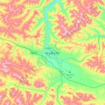
Name: 玛沁县 topographic map, elevation, terrain.
Location: 玛沁县, 果洛藏族自治州, 青海省, 中国 (34.31889 100.07618 34.63889 100.39618)
Average elevation: 13,622 ft
Minimum elevation: 11,847 ft
Maximum elevation: 15,840 ft