Geolocate

Milligan topographic map

Click on the map to display elevation.

About this map

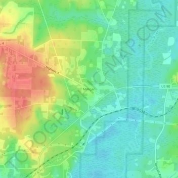
Name: Milligan topographic map, elevation, terrain.

Location: Milligan, Okaloosa County, Florida, 32537, United States (30.73241 -86.66079 30.77241 -86.62079)

Average elevation: 108 ft

Minimum elevation: 36 ft

Maximum elevation: 230 ft

Okaloosa County trails, hiking, mountain biking, running and outdoor activities

Gear up for your next adventure:

🛡️Bear Spray Outdoor - Protection in bear country hikes
📌Outdoor GPS Map App - Apps and devices for digital topographic navigation
🧭Map Reading Tools - Tools and kits for map navigation
🚪Portable Camp Chair - Foldable chair for comfort at camp
🏕️Tent Footprint - Protect your tent base from wear

As an Amazon Associate, this site earns from qualifying purchases at no extra cost to you.