Geolocate

Irving topographic map

Click on the map to display elevation.

About this map

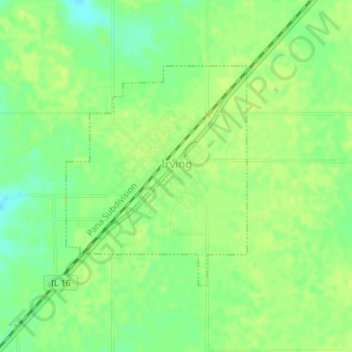
Name: Irving topographic map, elevation, terrain.

Location: Irving, Montgomery County, Illinois, 62051, United States (39.19649 -89.41549 39.21337 -89.39756)

Average elevation: 656 ft

Minimum elevation: 623 ft

Maximum elevation: 666 ft

Montgomery County trails, hiking, mountain biking, running and outdoor activities

Other topographic maps

Click on a map to view its topography, its elevation and its terrain.

Panama

United States > Illinois > Montgomery County

Average elevation: 564 ft

Gear up for your next adventure:

🛡️Insect Repellent - Protection against bugs during outdoor activities
🧭Map Reading Tools - Tools and kits for map navigation
🧥Men's Rain Shells - Premium waterproof and breathable jackets for mountain weather
🥾Women's Hiking Boots - Top-rated trail boots with ankle support and superior grip
📱Solar Portable Charger - Solar power bank for charging devices off‑grid

As an Amazon Associate, this site earns from qualifying purchases at no extra cost to you.