Geolocate

Benina topographic map

Click on the map to display elevation.

About this map

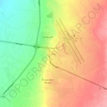
Name: Benina topographic map, elevation, terrain.

Location: Benina, Benghazi, Libya (32.04738 20.21490 32.12738 20.29490)

Average elevation: 361 ft

Minimum elevation: 180 ft

Maximum elevation: 528 ft

Other topographic maps

Click on a map to view its topography, its elevation and its terrain.

Wadi Qattara Passage

Libya > Benghazi

Average elevation: 121 ft

Gear up for your next adventure:

🥄Camping Utensil Set - Lightweight utensils for outdoor meals
📡GPS Antenna Upgrade - Enhance GPS reception in remote terrain
📶Satellite Messenger - Communication device off‑grid
🧭Map Reading Tools - Tools and kits for map navigation
🪶Trail Camera - Capture wildlife on your hikes

As an Amazon Associate, this site earns from qualifying purchases at no extra cost to you.