Geolocate

Otwell topographic map

Click on the map to display elevation.

About this map

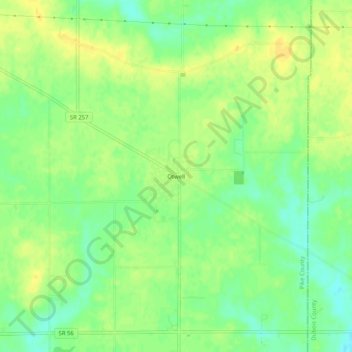
Name: Otwell topographic map, elevation, terrain.

Location: Otwell, Pike County, Indiana, 47564, United States (38.43477 -87.11223 38.47477 -87.07223)

Average elevation: 492 ft

Minimum elevation: 449 ft

Maximum elevation: 522 ft

Pike County trails, hiking, mountain biking, running and outdoor activities

Other topographic maps

Click on a map to view its topography, its elevation and its terrain.

Petersburg

United States > Indiana > Pike County

Average elevation: 472 ft

Winslow

United States > Indiana > Pike County

Average elevation: 453 ft

Gear up for your next adventure:

🎒Day Hiking Backpack - Lightweight backpack perfect for day trips and outdoor adventures
🪶LED Camping Lantern - Bright lantern for camp lighting
🧥Men's Rain Shells - Premium waterproof and breathable jackets for mountain weather
🏕️Family Camping Gear - Essentials for group camping trips
🌡️Portable Weather Meter - Track weather conditions on the trail

As an Amazon Associate, this site earns from qualifying purchases at no extra cost to you.