
Make a donation
Gear up for your next adventure:
As an Amazon Associate, this site earns from qualifying purchases at no extra cost to you.
Tornowsee topographic map
Click on the map to display elevation.
Make a donation
Gear up for your next adventure:
As an Amazon Associate, this site earns from qualifying purchases at no extra cost to you.
Tornowsee
Der Tornowsee grenzt im Norden und im Osten an die äußere Endmoräne der Frankfurter Phase, mit Höhen von etwa 100 m, im Westen an den zugehörigen Sander mit Höhen bis 60 m. Der See ist mit einer Spiegelhöhe von etwa 38 m deutlich in seiner Umgebung eingesenkt. Der Kalksee ist über den Binenbach mit ihm verbunden, zum Zermützelsee hin besteht die Verbindung über das Rottstielfließ.
Make a donation
Gear up for your next adventure:
As an Amazon Associate, this site earns from qualifying purchases at no extra cost to you.
About this map
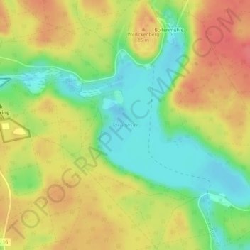
Name: Tornowsee topographic map, elevation, terrain.
Average elevation: 220 ft
Minimum elevation: 112 ft
Maximum elevation: 318 ft
Make a donation
Gear up for your next adventure:
As an Amazon Associate, this site earns from qualifying purchases at no extra cost to you.