Geolocate

Manapparai topographic map

Click on the map to display elevation.

About this map

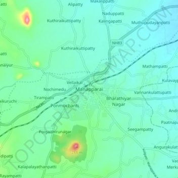
Name: Manapparai topographic map, elevation, terrain.

Location: Manapparai, Tiruchirappalli, Tamil Nadu, 621306, India (10.56823 78.38312 10.64823 78.46312)

Average elevation: 528 ft

Minimum elevation: 440 ft

Maximum elevation: 932 ft

Gear up for your next adventure:

🧦Merino Wool Socks - Moisture-wicking, blister-preventing socks for long treks
🏕️Tent Footprint - Protect your tent base from wear
🧴Hand Sanitizer - Keep hands clean while hiking
🥇GPS Hiking Watch - Multi‑sport GPS watch with navigation and trail tracking
☀️Outdoor Sunscreen - High protection sunscreen for outdoor activities

As an Amazon Associate, this site earns from qualifying purchases at no extra cost to you.