Geolocate

Oak Grove topographic map

Click on the map to display elevation.

About this map

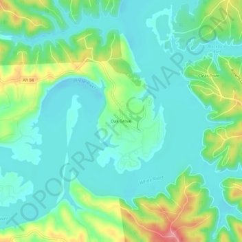
Name: Oak Grove topographic map, elevation, terrain.

Location: Oak Grove, Benton County, Arkansas, 72757, United States (36.26813 -94.04853 36.30813 -94.00853)

Average elevation: 1,188 ft

Minimum elevation: 1,096 ft

Maximum elevation: 1,427 ft

Benton County trails, hiking, mountain biking, running and outdoor activities

Gear up for your next adventure:

🦶Hiking Gaiters - Keep debris and water out of your boots
🧭Compass with Lanyard - Easy‑carry compass for navigation
📖Nature Tracking Books - Learn to track wildlife and terrain
🕶️Glacier Sunglasses - Side shields to protect eyes from high-altitude snow glare
🏫Relief Map Kits - Hands-on tools for teaching landforms and elevation

As an Amazon Associate, this site earns from qualifying purchases at no extra cost to you.