Geolocate

Molli topographic map

Click on the map to display elevation.

About this map

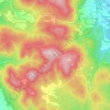
Name: Molli topographic map, elevation, terrain.

Location: Molli, Tegoia, Sovicille, Siena, Tuscany, 53018, Italy (43.26028 11.16538 43.30028 11.20538)

Average elevation: 1,493 ft

Minimum elevation: 886 ft

Maximum elevation: 1,955 ft

Gear up for your next adventure:

🩳Quick‑Dry Hiking Shorts - Comfortable and quick‑dry shorts for summer hiking
🛰️Satellite Messengers - Emergency SOS and two-way messaging for off-grid adventures
🪶Camping Sleeping Pad - Comfortable sleeping pad for backpacking
🎒Trail Energy Bars - High‑calorie bars for hiking energy
📱Solar Portable Charger - Solar power bank for charging devices off‑grid

As an Amazon Associate, this site earns from qualifying purchases at no extra cost to you.