Geolocate

Lennestadt topographic map

Click on the map to display elevation.

About this map

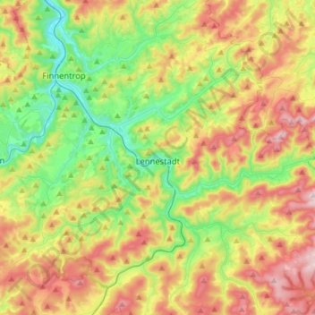
Name: Lennestadt topographic map, elevation, terrain.

Location: Lennestadt, Kreis Olpe, North Rhine-Westphalia, 57368, Germany (51.05652 7.95807 51.19599 8.24149)

Average elevation: 1,385 ft

Minimum elevation: 725 ft

Maximum elevation: 2,329 ft

Other topographic maps

Click on a map to view its topography, its elevation and its terrain.

Kickenbach

Germany > North Rhine-Westphalia > Kreis Olpe > Lennestadt

Average elevation: 1,348 ft

Mondschein

Germany > North Rhine-Westphalia > Kreis Olpe > Lennestadt

Average elevation: 1,109 ft

Gear up for your next adventure:

🥾Women's Hiking Boots - Top-rated trail boots with ankle support and superior grip
🩹Survival Bandages - High‑quality bandages for emergencies
📦Dry Bags Set - Waterproof storage for electronics and clothes
📷Action Cameras - Rugged cameras to document your journeys across rugged terrain
🔭Stargazing Telescopes - Perfect for camping in low-light pollution areas shown on maps

As an Amazon Associate, this site earns from qualifying purchases at no extra cost to you.