
南沙区 topographic map
Interactive map
Click on the map to display elevation.
About this map
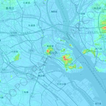
Name: 南沙区 topographic map, elevation, terrain.
Location: 南沙区, 广州市, 广东省, 511457, 中国 (22.64439 113.35982 22.96439 113.67982)
Average elevation: 13 ft
Minimum elevation: -39 ft
Maximum elevation: 886 ft
Other topographic maps
Click on a map to view its topography, its elevation and its terrain.