
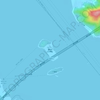
横档岛 topographic map
Interactive map
Click on the map to display elevation.
About this map
Name: 横档岛 topographic map, elevation, terrain.
Location: 横档岛, 南沙街道, 南沙区, 广州市, 广东省, 中国 (22.79178 113.60401 22.79775 113.60995)
Average elevation: 13 ft
Minimum elevation: -10 ft
Maximum elevation: 522 ft
Other topographic maps
Click on a map to view its topography, its elevation and its terrain.