Geolocate

Lankaran topographic map

Click on the map to display elevation.

About this map

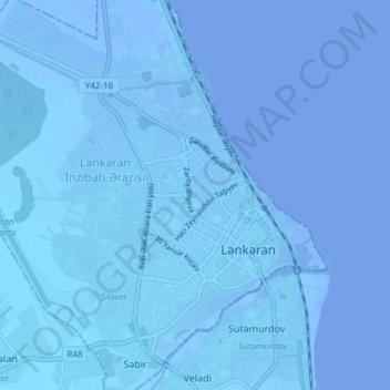
Name: Lankaran topographic map, elevation, terrain.

Location: Lankaran, Lankaran-Astara, AZ4200, Azerbaijan (38.73281 48.80490 38.79091 48.86341)

Average elevation: -75 ft

Minimum elevation: -95 ft

Maximum elevation: -13 ft

Gear up for your next adventure:

🔌USB Car Charger - Car charger for on‑the‑go power needs
🧢Outdoor Hiking Hat - Sun protection hat for outdoor explorers
🌡️Handheld Weather Meters - Measure wind, temp, and pressure for safe mountain travel
🚁Photography Drones - Capture stunning aerial views of landforms and topography
🪶Camping Sleeping Pad - Comfortable sleeping pad for backpacking

As an Amazon Associate, this site earns from qualifying purchases at no extra cost to you.