Geolocate

Geddes topographic map

Click on the map to display elevation.

About this map

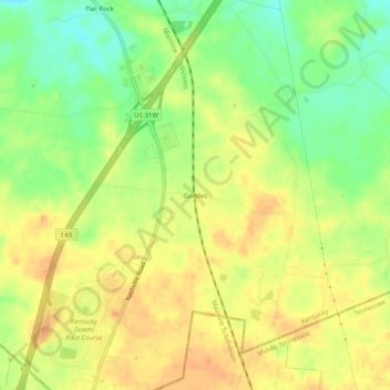
Name: Geddes topographic map, elevation, terrain.

Location: Geddes, Simpson County, Kentucky, 42135, United States (36.63671 -86.56972 36.67671 -86.52972)

Average elevation: 738 ft

Minimum elevation: 656 ft

Maximum elevation: 801 ft

Simpson County trails, hiking, mountain biking, running and outdoor activities

Gear up for your next adventure:

🔭Telescopic Hiking Pole - Adjustable pole for hiking stability
📶Vehicle Signal Boosters - Improve reception in rural areas while driving to trailheads
🦶Carbon Trekking Poles - Reduce knee impact on steep descents with ultra-light poles
💧Water Purification System - Clean water on the trail with reliable purifiers
🛠️Outdoor Gear Repair Kit - Essential tools to fix gear on the trail

As an Amazon Associate, this site earns from qualifying purchases at no extra cost to you.