Geolocate

Dettifoss topographic map

Click on the map to display elevation.

About this map

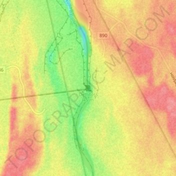
Name: Dettifoss topographic map, elevation, terrain.

Location: Dettifoss, Norðurþing, Northeastern Region, Iceland (65.81425 -16.38445 65.81435 -16.38435)

Average elevation: 1,119 ft

Minimum elevation: 965 ft

Maximum elevation: 1,217 ft

Gear up for your next adventure:

🌡️Handheld Weather Meters - Measure wind, temp, and pressure for safe mountain travel
❄️Traction Cleats - Prevent slips on icy trails during winter hikes
📷Action Camera - Capture your outdoor adventures in HD
🛰️Handheld GPS Units - Professional satellite navigators for precise backcountry mapping
🏫Relief Map Kits - Hands-on tools for teaching landforms and elevation

As an Amazon Associate, this site earns from qualifying purchases at no extra cost to you.