Geolocate

Winchester topographic map

Click on the map to display elevation.

About this map

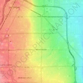
Name: Winchester topographic map, elevation, terrain.

Location: Winchester, Las Vegas, Clark County, Nevada, United States (36.12941 -115.20815 36.15258 -115.08381)

Average elevation: 1,965 ft

Minimum elevation: 1,726 ft

Maximum elevation: 2,244 ft

Clark County trails, hiking, mountain biking, running and outdoor activities

Gear up for your next adventure:

🪶Compact Camp Shovel - Folding shovel for campsite tasks
🎒Outdoor Daypacks - Lightweight backpacks designed for carrying maps and essential gear
🌲Outdoor Survival Books - Best books on survival skills
📱Solar Portable Charger - Solar power bank for charging devices off‑grid
🥇GPS Hiking Watch - Multi‑sport GPS watch with navigation and trail tracking

As an Amazon Associate, this site earns from qualifying purchases at no extra cost to you.