
Nuria topographic map
Click on the map to display elevation.
About this map
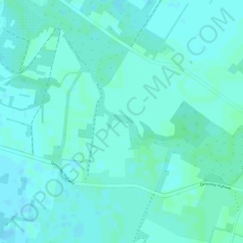
Name: Nuria topographic map, elevation, terrain.
Location: Nuria, Qoryooley, Qoriyoley District, Lower Shabelle, Somalia (1.74190 44.56920 1.76190 44.58920)
Average elevation: 226 ft
Minimum elevation: 217 ft
Maximum elevation: 233 ft