
Thank you for supporting this site ❤️
Make a donation
Make a donation
Gear up for your next adventure:
As an Amazon Associate, this site earns from qualifying purchases at no extra cost to you.
Lung Moche topographic map
Click on the map to display elevation.
Thank you for supporting this site ❤️
Make a donation
Make a donation
Gear up for your next adventure:
As an Amazon Associate, this site earns from qualifying purchases at no extra cost to you.
About this map
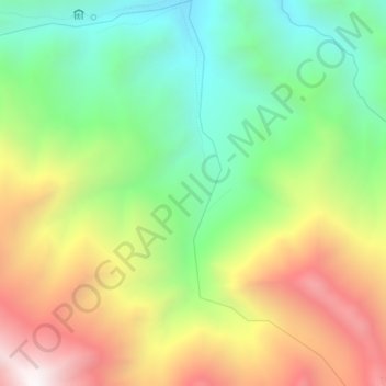
Name: Lung Moche topographic map, elevation, terrain.
Location: Lung Moche, Leh, Leh District, Ladakh, India (34.00773 77.41501 34.04467 77.43311)
Average elevation: 15,131 ft
Minimum elevation: 13,143 ft
Maximum elevation: 17,848 ft
Thank you for supporting this site ❤️
Make a donation
Make a donation
Gear up for your next adventure:
As an Amazon Associate, this site earns from qualifying purchases at no extra cost to you.